

 I’ve been poking around, trying to figure out where I can get intersection-by-intersection traffic accident data and happened to stumble upon this neat toy, provided by the North Central Texas Council of Governments–a map that shows traffic volume data for major streets. The info isn’t particularly recent–the last study seems to have been in 2004–or, despite its claim, historic–there is only one other data set, from 1999–but whatever. I could spend plenty of time noticing that, hey, my 1997 Mazda Protege is one of the 102,235 vehicles going south on Central Expressway. Or that, the further north you go down Preston Road from Northwest Highway, the higher the traffic volume. Or, that there is twice as much traffic on Preston and Royal Crest Drive (29,522) than at either Northaven Road (14,934) or Royal Lane (14,761). But I digress. Check it out if you’re into that sort of thing. Which I most defnitely am.
More in
General
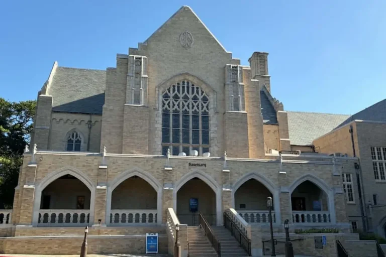
HPUMC Church Council Calls For Vote on Ties to UMC
Leadership's decision to call the vote came after the possibility was discussed at a town hall meeting
Living
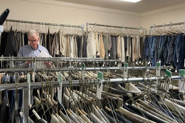
HPHS Alum Helps Turn Discards Into Treasure
One Man’s Treasure provides men with clothing as they reenter society
News
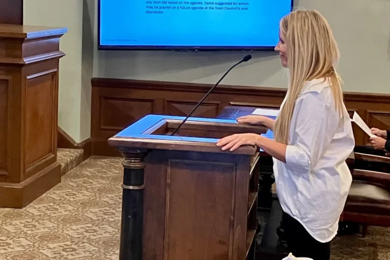
HP Town Council Hears From Resident at Oct. 6 Meeting
The speaker said additional stop signs were needed due to Knox Street through traffic